Improving Agricultural Management by Accessing NASA’s Satellite-derived Data

SERVIR, a joint initiative of National Aeronautics and Space Administration (NASA) and United States Agency for International Development (USAID), works in partnership with hubs in Africa, Southeast Asia, and the Hindu Kush-Himalaya regions to help developing countries use information provided by geospatial technologies for responding to weather challenges. To improve agricultural management, SERVIR developed the AgriSERV tool – a user-friendly, web-based tool enabling users to analyze two satellite data sets together in one.
In SERVIR hub regions, where access to agricultural data is sparse, decision-makers have a critical need for a platform that allows them to visualize and download satellite-derived data on vegetation condition and historical rainfall. Vegetation health is a reliable indicator of crop vigor, and several studies have connected changes in satellite-derived vegetation indices to crop yields and the length of growing season. Because AgriSERV provides decision-makers an analysis of vegetation index data along with a rainfall dataset, areas with and without intervention can be compared and analyzed to assess the impacts of a development intervention strategy and identify similar areas where the same strategy could be used.
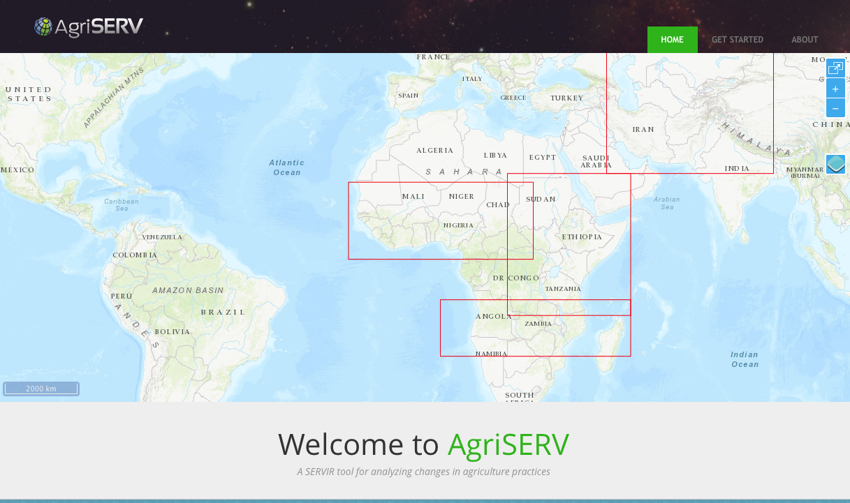
With AgriSERV, users draw (delineate) two areas of interest: one control area with no intervention and another area that has experienced intervention. Then they specify a time period ranging back to the year 2000, and perform an on-demand comparative analysis. The user is presented with side-by-side charts and summary data that highlight the differences of the two areas in terms of vegetation health, derived growing season lengths, and rainfall. The analysis is based on an area-weighted average of the gridded Normalized Difference Vegetation Index (NDVInd rainfall data. The users can also download the summary data table as well as the full dataset for the period specified.
To share improved technologies and management practices to small farms in Malawi, for instance, USAID’s Wellness and Agriculture for Life Advancement (WALA) program has provided irrigation support to villages throughout the country. USAID used AgriSERV to measure the efficacy of these irrigation interventions and has benefited over 100,000 farmers, thus far.
AgriSERV helps decision makers in the developing world better respond to agricultural changes and manage interventions by providing access to satellite-derived data. With AgriSERV, farmers are able to better assess how varying rainfall levels may affect crop vigor and prevent stress to vegetation.
